
How to Get Around in Istanbul by Public Transport
Istanbul is a huge, hilly city, but getting around is relatively easy once you understand its public transport system. Here are a few practical tips from our experience.
· by Krisztofer & Dávid · 3 min read
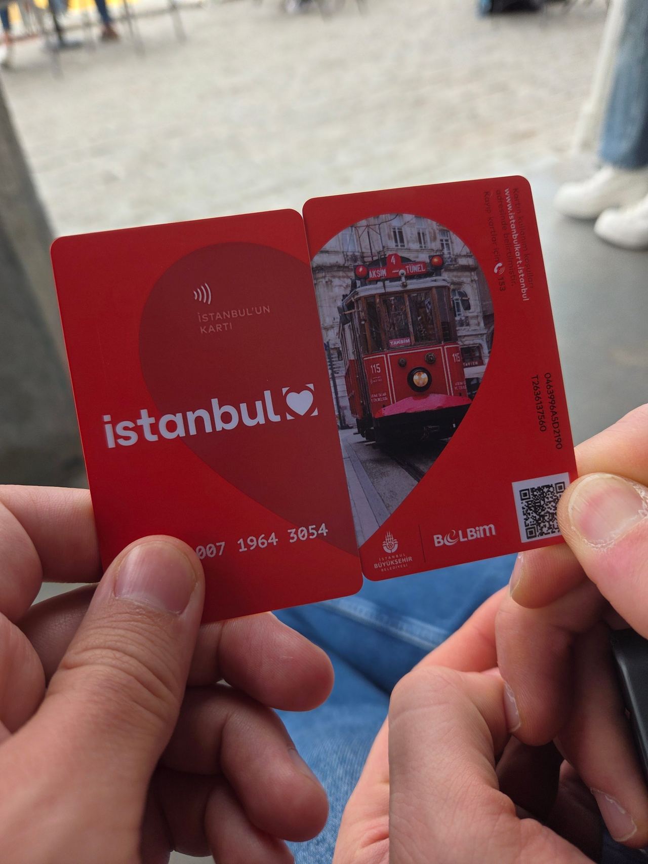
The metro and trams are straightforward to use, while buses can be a little more complicated.
IstanbulKart: the easiest way to get around
The IstanbulKart is a rechargeable public transport card that you can use on the metro, trams, buses, ferries and other forms of public transport. It cost us 165 TL to buy one, and you can top it up at stations. A maximum of 5 people can use the same card.
Fares vary depending on the type of transport, ranging from 46.20 to 76.90 TL when we visited. You can check the remaining balance and top up your card at the machines available at many stations. At the gates you just need to tap it, as in many other cities.
As we later found out contactless bank cards should also work the same way as IstanbulKart, that you can tap them at gates. Prices can be slightly higher, and some stations may only accept IstanbulKart.
Metro, trams and funiculars
The metro and tram network is easy to navigate, and both are useful for reaching the main sights. Taksim Square is a major transport hub, with connections to several parts of the city. Both of Istanbul's airports are easily reachable with metro.
There are also funiculars, which are particularly useful given how hilly Istanbul is. One connects Taksim and Kabataş (F1), while the historic Tünel funicular links Karaköy with the lower end of İstiklal Street (F2).
Buses and dolmuş minibuses
Buses cover many parts of Istanbul that are not directly served by the metro or tram. You can use your IstanbulKart on them, too. Planning a bus journey can be a little more complicated, but Moovit is useful for finding routes and connections.
You may also see yellow minibuses called dolmuş. They usually depart from busy transport hubs when they fill up, and you pay in cash. They can be convenient for locals, but we would not necessarily recommend them to tourists unless you need to use one.
Ferries: transport with a view
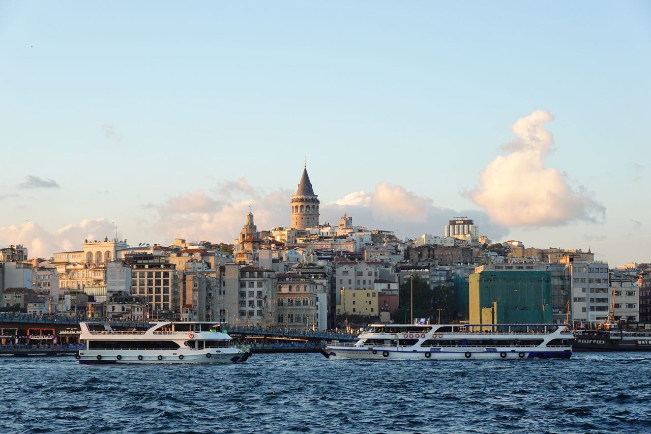
Taking a public ferry is definitely the nicest, and our favorite way to get around Istanbul. Ferries connect different parts of the city on both sides of the Bosphorus, as well as neighbourhoods along the Golden Horn. They are a practical way to cross the water and enjoy the views without booking a sightseeing cruise.
You can find printed timetables at ferry terminals, and there are also small booklets listing all the routes. Online route maps are available, too, so it is worth checking your options before heading to the pier.
Which apps should you use?
Google Maps worked reasonably well for us, especially for walking, metro and tram journeys. For buses, we found Moovit more useful, as it is better suited to navigating public transport in Türkiye.
Public transport, walking, and taxis
Istanbul is very walkable in many areas, but distances can be long and the hills and stairs add up quickly. We almost never take a taxi, when we're on a budget - as almost always, and in Istanbul traffic can be very heavy. It doesn't really look like a good idea to waist your time in a taxi. In our opinion combining walking with public transport is usually the best way to explore the city.
More from Türkiye
Türkiye · Tips & Guides
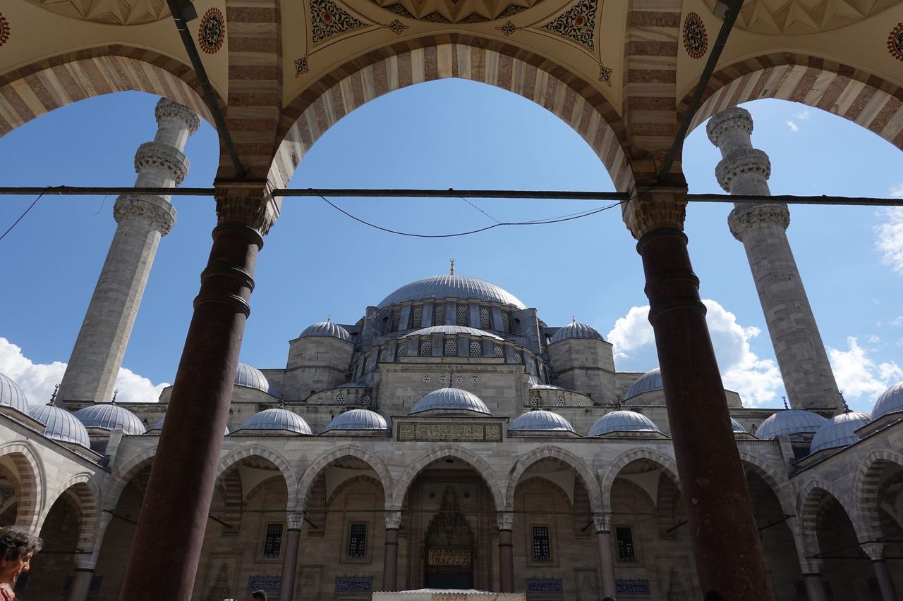
Visiting Mosques in Istanbul: What to Know Before You Go
Istanbul’s mosques are among the city’s most beautiful sights, and visiting them is a great way to learn more about Turkish culture and Islam. Just keep in mind that mosques are active places of worship, not simply historical monuments, so a little consideration goes a long way.
21 October 2026
Türkiye
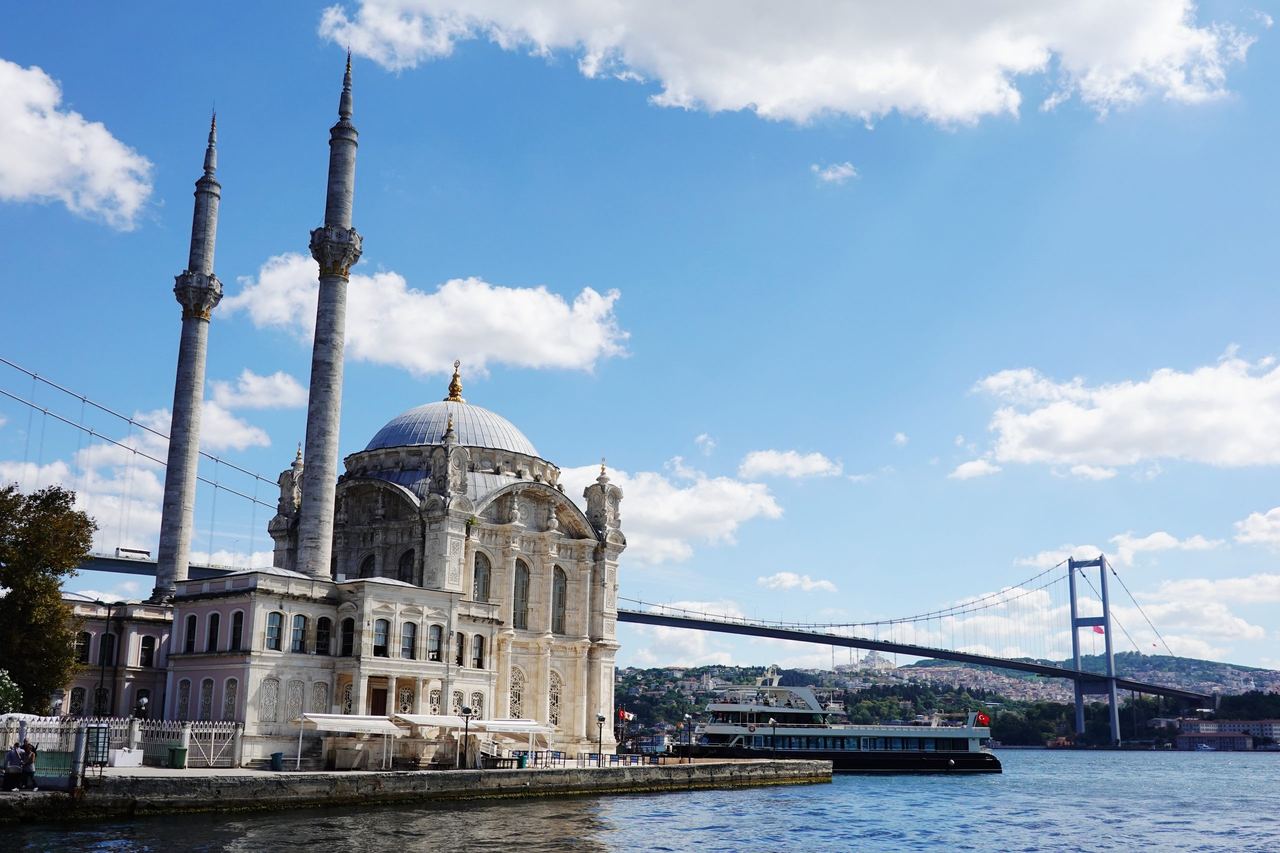
3-Day Itinerary for First-Time Visitors in Istanbul
Three days in Istanbul is enough to get a first impression of this huge, lively city, but there is much more to see. Looking back, we would have planned our days a little differently, so here is an itinerary based on our experience, with a few adjustments.
21 October 2026
Türkiye · Blog
World Trip Diary #1: Istanbul, the Gate of the East
Our journey around the world started in Istanbul, Türkiye on 16 September 2026. We spent 3 full days in the city which felt like fine mixture of West and East.
16 October 2026